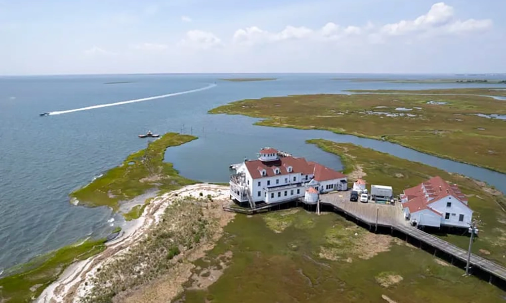
The only way to visit Ken Able’s office is to traverse Great Bay Boulevard, a narrow, five-mile long road in Tuckerton that crosses a network of brackish tidal marshes via a series of wood bridges.
The boulevard, nominally protected from erosion by a border of reeds and groundsel shrubs, had flooded on a recent day.
Undeterred, a woman in a truck plowed through, donned waders, and tossed a crab trap into a channel.
Dozens of diamondback terrapins negotiating the road tucked their heads as an occasional vehicle approached.
Able’s office at the Rutgers University Marine Field Station lies at the end of the very tip of the boulevard, linked by a long boardwalk at the very edge of New Jersey. Flooding has become more common.
“We’re losing our marshes, and that’s very obvious,” said Able, 79, a Rutgers professor emeritus and marine scientist who retired as the station’s director in 2019 but continues conducting research. “We’ve lost 140 feet at the edge of the
marsh channel, and it’s getting closer to the station all the time.”
Able has one of the most unique vantage points in the eastern United States to measure and experience climate change firsthand: The Atlantic Ocean is slowly swallowing the peninsula on which the station rests.
Full article at Philadelphia Inquirer

