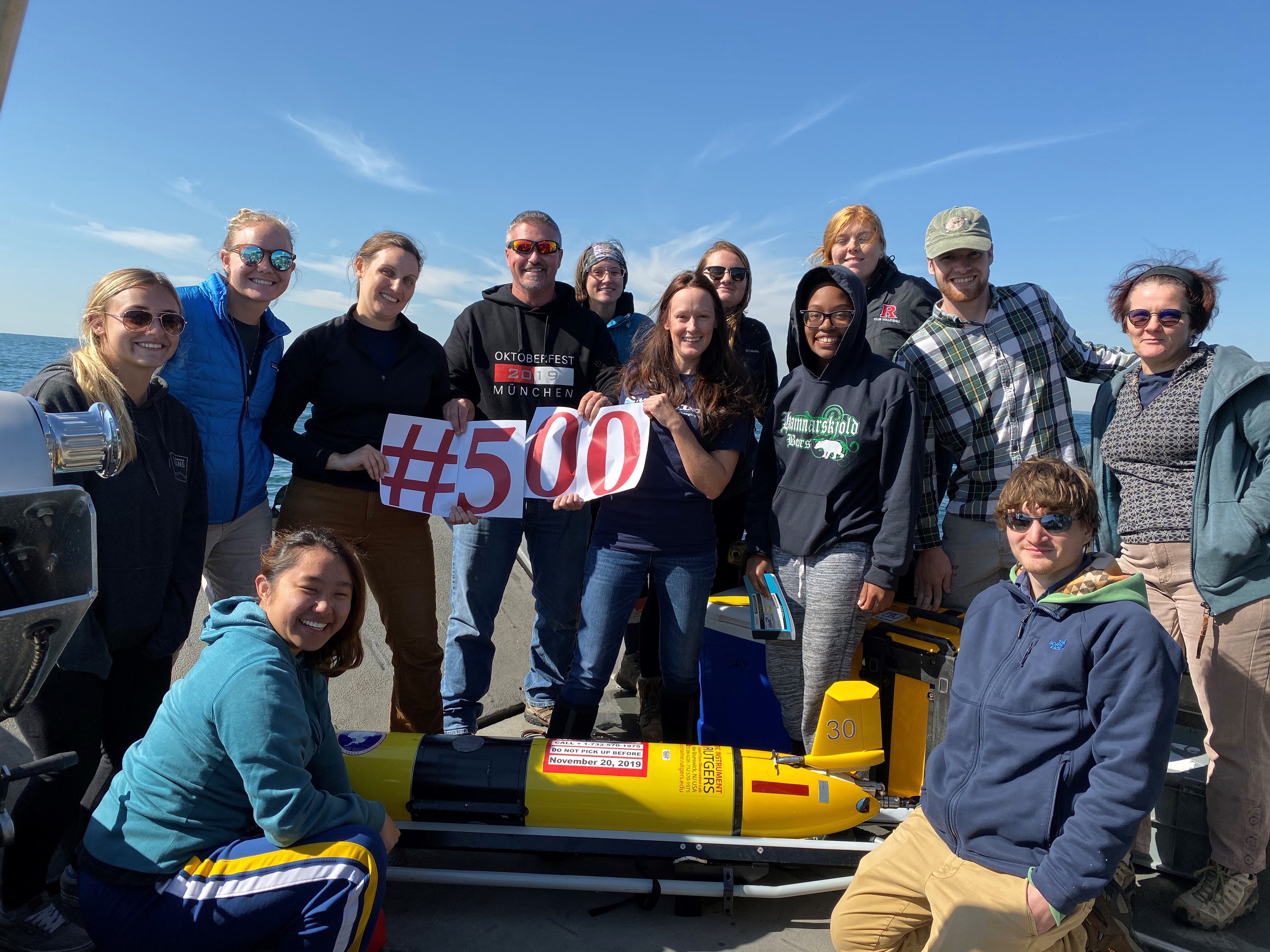
RUCOOL Celebrates the 500th Glider Deployment
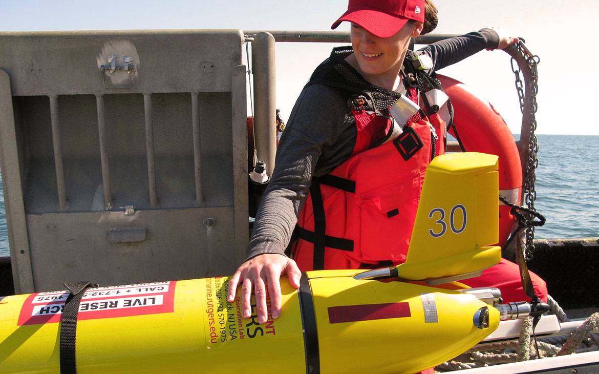
This week, RUCOOL deployed the RU30 glider in support of work by Dr. Grace Saba to study ocean pH in the New York Bight. On board the R/V Rutgers for…

This week, RUCOOL deployed the RU30 glider in support of work by Dr. Grace Saba to study ocean pH in the New York Bight. On board the R/V Rutgers for…
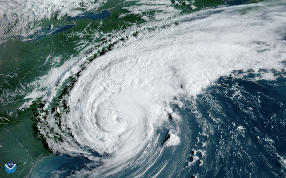
The need for the improvement of the hurricane intensity forecasts has been recognized by groups within the National Weather Service (NWS) and US Navy. Hurricane forecasting models require accurate ocean…
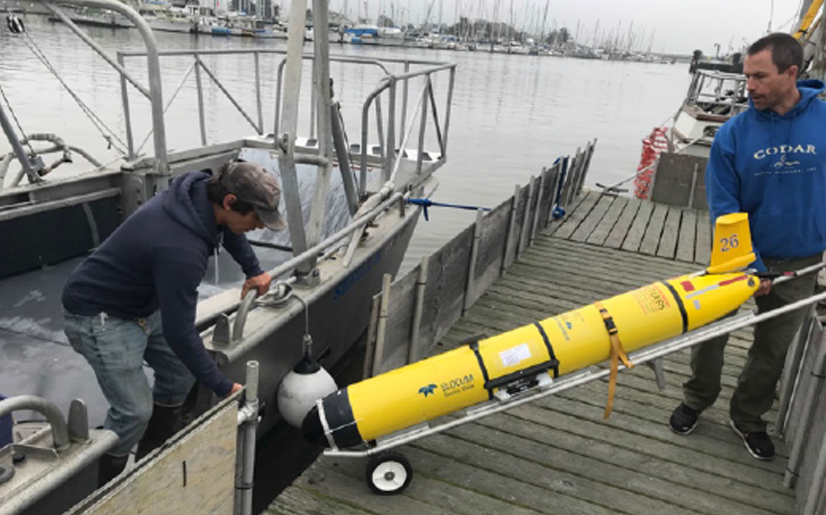
Underwater robot gliders are measuring air and sea interaction during hurricanes in the mid-Atlantic region. The little yellow submarines are part of a collaborative effort between Rutgers and Monmouth universities. Rutgers…
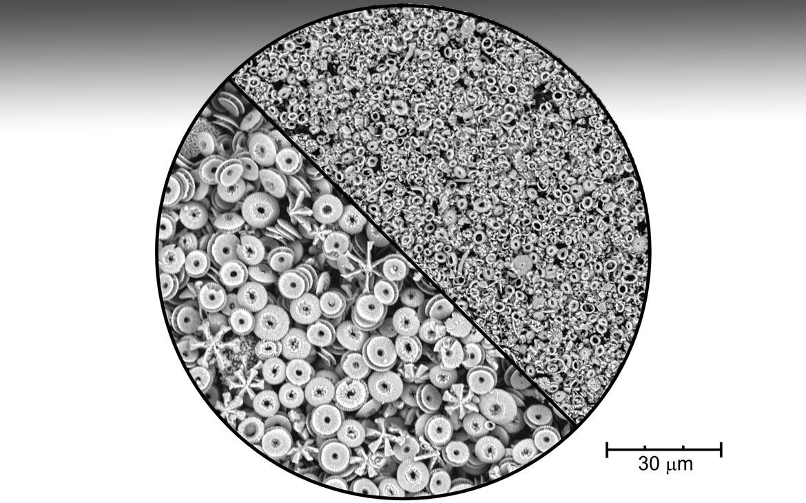
Rutgers-led study casts doubt on Himalayan rock weathering hypothesis A key theory that attributes the climate evolution of the Earth to the breakdown of Himalayan rocks may not explain the…

Pritchard Award - Physical Oceanography Paper This award was established to honor Dr. Donald W. Pritchard, whose insightful research on the physical dynamics of coastal systems set the stage for…
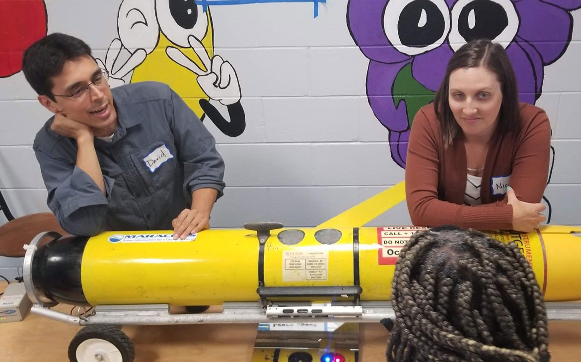
In New Brunswick, Rutgers scientists teamed up with the local school district to develop a series of Science Family Nights. Funded by Rutgers’ 4-H Department of Youth Development and Cooperative Extension,…
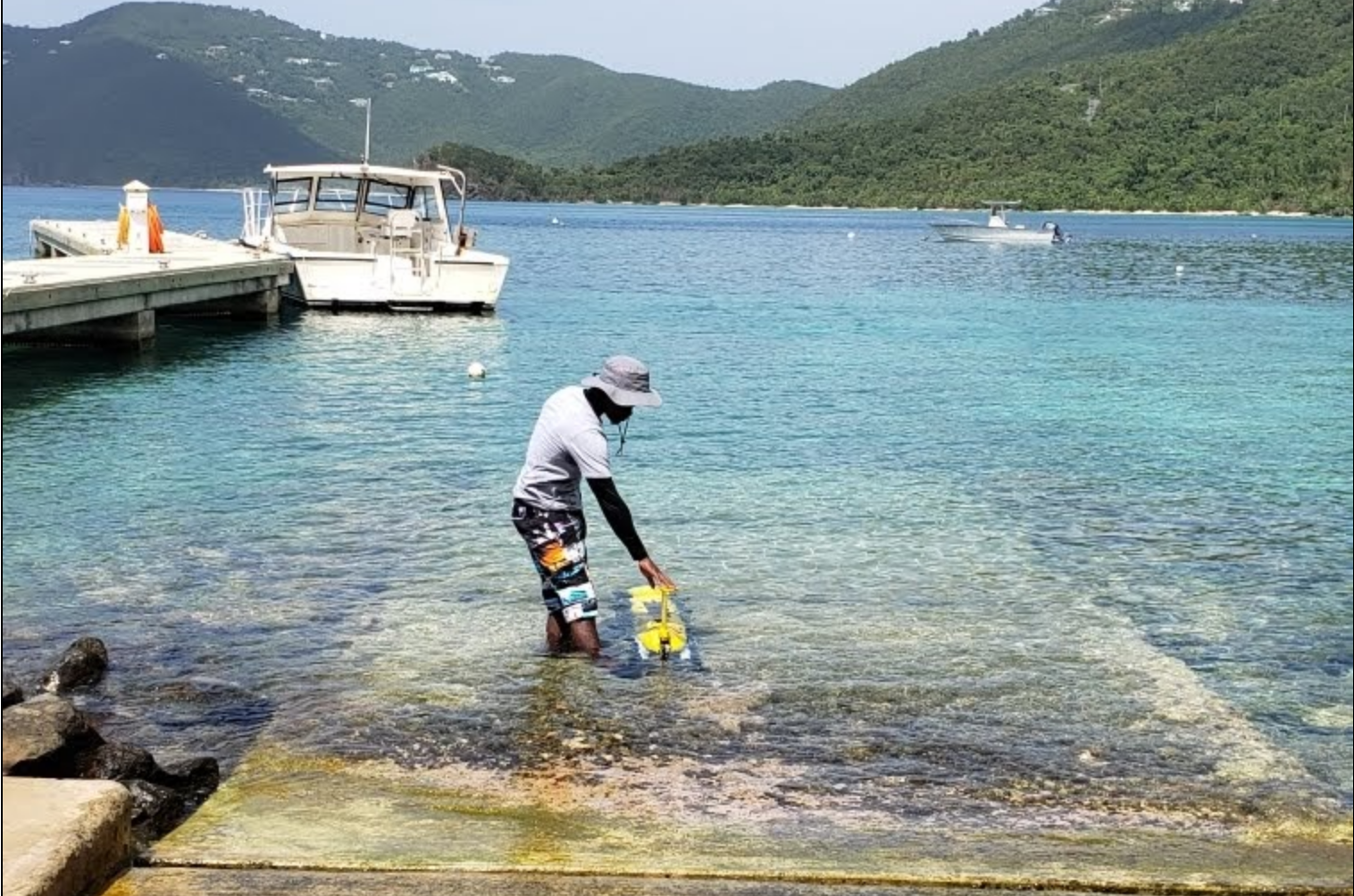
This glider was deployed on the 2nd international mission from the US Virgin Islands and is transiting to the British Virgin Islands in order to study heat flow through the…
Sea Water Ocean Topography (SWOT) is a radar interferometry mission making SSH measurements over a swath 120 km wide. There is a nadir gap of 20 km where the error…
Optimizing Ocean Acidification Observations for Model Parameterization in the Coupled Slope Water System of the U.S. Northeast Large Marine Ecosystem Lead by Grace Saba, Rutgers University The U.S. Northeast Shelf…
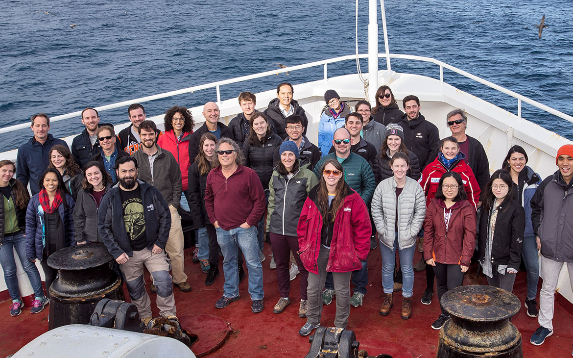
In July 2019, Rutgers postdoc Samantha Bova and Rutgers professor Yair Rosenthal led a team of 33 scientists on a month-long ocean expedition aboard the JOIDES Resolution to study the…