|
|
Surface Current Maps
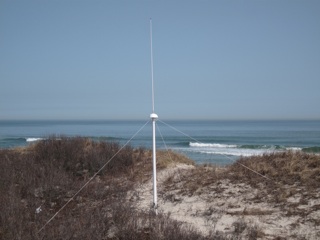
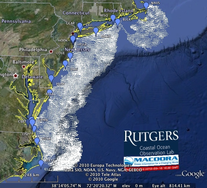
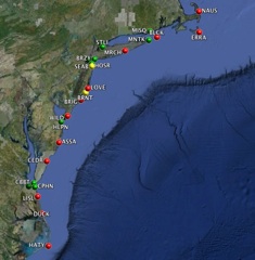
The RUTGERS HF Radar Network makes hourly measurements of the surface currents and wave conditions from Block Island Sound to Cape May. The network consists of 11 SeaSonde type radars operated by CODAR Coastal Ocean Observation Lab :
The RUTGERS HF Radar Network consists of 6 long range (5 mHz), 2 mid range (12 mHz) and 3 being a standard range (25 mHz) system.
The long-range system consists of 6 sites from Block Island Sound to Cape May. The sites are in Block Island, RI, Moriches, NY, Sandy Hook, NJ; Loveladies, NJ; Brigantine, NJ; Wildwood, NJ. This network provides current measurements out beyond the shelf break, approximately 100 km offshore.
The mid-range system consists of 2 sites that have been setup in Sea Bright, NJ to support our mid-Atlantic testbed and in Cabo Rojo, Puerto Rico to support our tropical test bed research. This system provides higher-resolution current maps.
The standard-range system consists of 3 sites that have been setup in Sandy Hook, NJ, Staten Island, NY and Breezy Point, NY to support New Jersey/New York Harbor research. Our partners at Stevens Institute of Technology monitored monitored the Standard Range system on Staten Island, NY; This system provides higher-resolution current maps out about 20 km.
General Information
|
©2010 Rutgers, The State University of New Jersey
|