| Dataset | sg249-20220712T1922 |
|---|---|
| Glider | sg249 |
| Status | Active |
| Summary | The La Push glider line aims to extend the time series of sustained glider-based measurements off the Washington Coast that begun in 2003. Seaglider and SGX underwater gliders repeatedly occupy a single section that extends offshore from the continental slope to 47N, 127W. Gliders profile from the sea surface to 1000-m depth and back every 6 hours while traversing the line at a speed of roughly 20 km/day. The La Push line is sampled by a single glider, which is replaced as needed to maintain continuous occupation of the section |
| WMO ID | 4803951 |
| Attribution | National Oceanic and Atmospheric Administration |
| Time Coverage Start | 2022-07-12 20:37:36 UTC |
| Time Coverage End | 2023-01-18 19:28:05 UTC |
| Registered | 2022-07-12 |
| Deployed | 2022-07-12 |
| Operator | IOP Applied Physics Laboratory University of Washington |
| Institution | University of Washington Applied Physics Laboratory |
| Data Provider | geoffshilling |
| # Profiles | 644 |
| Days Deployed | 190 |
| BBox North | 47.909 |
| BBox South | 46.995 |
| BBox East | -126.998 |
| BBox West | -125.187 |
Maps
Track

Latest Profiles
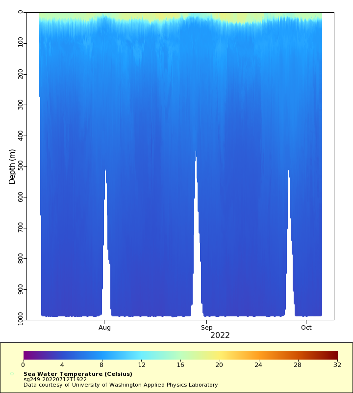
Temperature

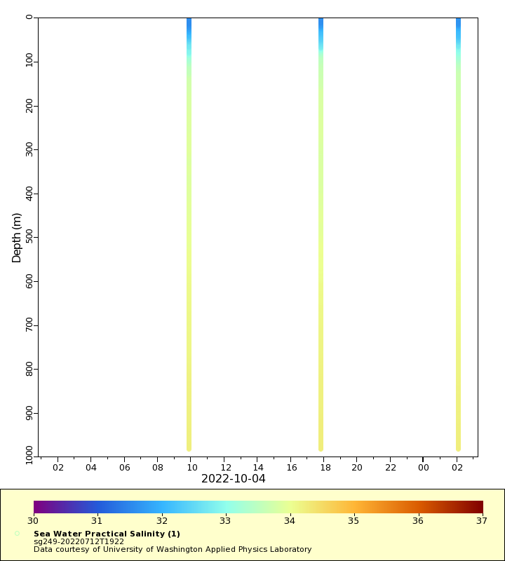
Salinity

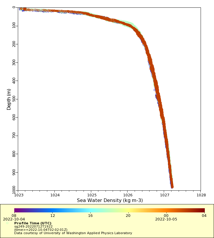
Density
Conductivity

Latest Timeseries
Temperature

Salinity
Density

Conductivity

Synoptic Timeseries
Temperature
Salinity

Density

Conductivity
