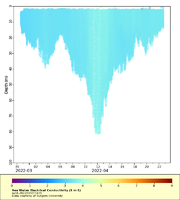
| Dataset | ru34-20220330T1435 |
|---|---|
| Glider | ru34 |
| Status | Completed |
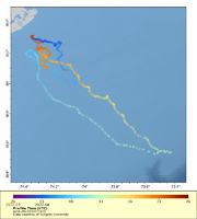
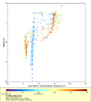
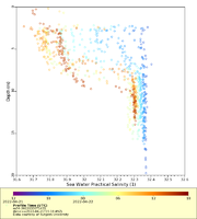
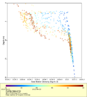
| Summary | This glider mission will serve as an integral component of \u00d8rsted\u2019s Ecosystem and Passive Acoustic Monitoring (ECO-PAM) project, which will help advance research for detection of North Atlantic right whale, to better understand their presence, distribution and seasonality and to contribute to characterization of their habitat in offshore wind lease areas. Additional benefits of the glider mission include collection of tagged fish data disseminated thru the Animal Telemetry Network as well as contribution of data gathered to the NOAA IOOS Glider DAC that will help improve accuracy of weather forecasting and predicting severe storms. The ECO-PAM project is in partnership with the University of Rhode Island, Woods Hole Oceanographic Institution and Rutgers, The State University of New Jersey. This real-time dataset contains temperature, salinity and oxygen concentration measurements. Acoustic monitoring data will be packaged separately and is not included in this dataset. The glider was deployed southeast of Atlantic City and will perform zig-zag transects south along the coast of New Jerse |
| WMO ID | 4802971 |
| Attribution | Ocean Wind LLC |
| Time Coverage Start | 2022-03-30 14:37:59 UTC |
| Time Coverage End | 2022-04-22 15:18:49 UTC |
| Registered | 2022-03-31 |
| Deployed | 2022-03-30 |
| Operator | Rutgers University |
| Institution | Rutgers University |
| Data Provider | rutgers |
| # Profiles | 1225 |
| Days Deployed | 24 |
| BBox North | 39.316 |
| BBox South | 38.534 |
| BBox East | -74.384 |
| BBox West | -73.426 |
