| Dataset | ng734-20220803T0000 |
|---|---|
| Glider | ng734 |
| Status | Completed |
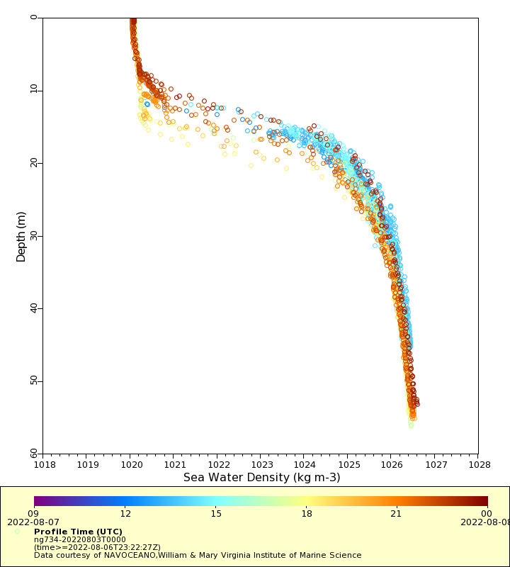
| Summary | Deployment of a Littoral Battlespace Sensing (LBS) glider owned and operated by the Naval Oceanographic Office (NAVOCEANO). The glider will be deployed in 40 meters of water on the Mid-Atlantic Bight shelf and make a counter clockwise loop around the Mid-Atlantic Slope Sea staying on the north side of the Gulf Stream. LBS gliders collect temperature and salinity profiles in the water column. These gliders were provided and operated by the Naval Oceanographic Office (NAVOCEANO) and are part of a larger effort to deploy and operate over 100 gliders simultaneously. Data collected by these Littoral Battlespace Sensing (LBS) gliders is assimilated for use in underwater ocean forecasts that support a wide range of naval operations |
| WMO ID | 4803934 |
| Attribution | NOAA, United States Navy, IFAA, OAR, AOML |
| Time Coverage Start | 2022-08-03 13:19:24 UTC |
| Time Coverage End | 2022-08-07 23:57:12 UTC |
| Registered | 2022-08-03 |
| Deployed | 2022-08-03 |
| Operator | NAVOCEANO |
| Institution | NAVOCEANO,William & Mary Virginia Institute of Marine Science |
| Data Provider | rutgers |
| # Profiles | 686 |
| Days Deployed | 5 |
| BBox North | 37.499 |
| BBox South | 37.286 |
| BBox East | -75.061 |
| BBox West | -74.361 |
Maps
Track

Latest Profiles
Temperature

Salinity

Density
Conductivity

Latest Timeseries
Temperature

Salinity

Density

Conductivity

Synoptic Timeseries
Temperature

Salinity

Density

Conductivity
