| Dataset | ng427-20220713T0000 |
|---|---|
| Glider | ng427 |
| Status | Completed |
| Summary | Deployment of a Littoral Battlespace Sensing (LBS) glider owned and operated by the Naval Oceanographic Office (NAVOCEANO). This glider was deployed offshore of Cape Canaveral on the east coast of Florida in the Atlantic Ocean. LBS gliders collect temperature and salinity profiles in the water column. The glider will swim to the NDBC buoy 41002 to do a cross-calibration with that buoy followed flying CCW around a triangle in which each side is 70nm and expected to take 5-8 days to complete. These gliders were provided and operated by the Naval Oceanographic Office (NAVOCEANO) and are part of a larger effort to deploy and operate over 100 gliders simultaneously. Data collected by these Littoral Battlespace Sensing (LBS) gliders is assimilated for use in underwater ocean forecasts that support a wide range of naval operations |
| WMO ID | 4803955 |
| Attribution | United States Navy, NOAA, IFAA, OAR, AOML |
| Time Coverage Start | 2022-07-13 15:07:38 UTC |
| Time Coverage End | 2022-11-28 15:58:53 UTC |
| Registered | 2022-07-14 |
| Deployed | 2022-07-13 |
| Operator | NAVOCEANO |
| Institution | NAVOCEANO,Skidaway Institute of Oceanography |
| Data Provider | rutgers |
| # Profiles | 1570 |
| Days Deployed | 139 |
| BBox North | 32.915 |
| BBox South | 29.392 |
| BBox East | -79.367 |
| BBox West | -73.573 |
Maps
Track

Latest Profiles
Temperature

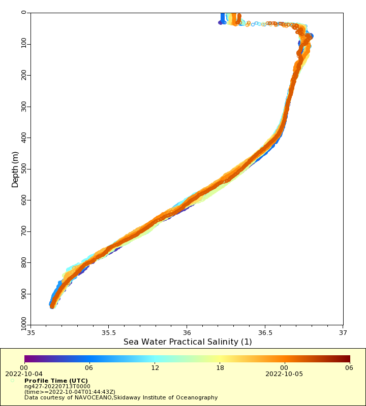
Salinity
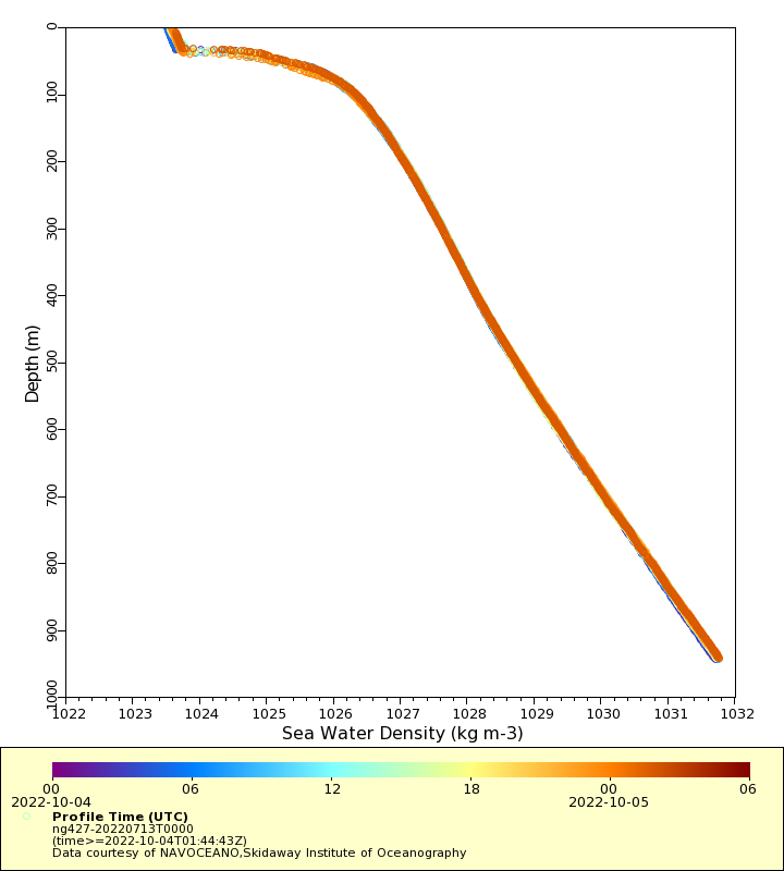
Density
Conductivity

Latest Timeseries
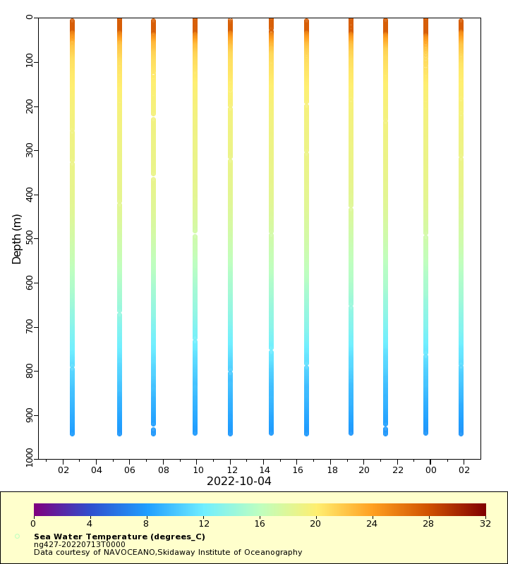
Temperature
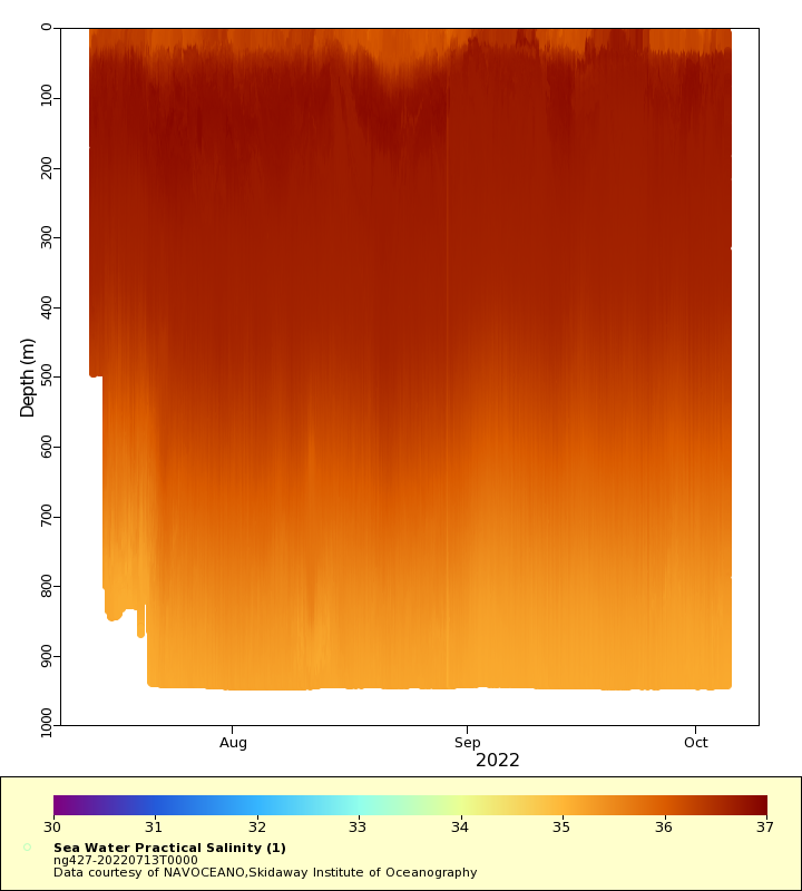
Salinity

Density

Conductivity

Synoptic Timeseries
Temperature

Salinity
Density

Conductivity
