| Dataset | gi_469-20210811T0404 |
|---|---|
| Glider | gi_469 |
| Status | Completed |
| Summary | The Global component of the OOI includes arrays at critical, yet under-sampled, high-latitude locations such as within the Irminger Sea in the North Atlantic. The Global Irminger Sea Array includes two types of gliders that provide simultaneous spatial and temporal sampling capabilities. Open-Ocean Gliders follow track lines around the triangular mooring array and are equipped with acoustic modems to relay data from the Flanking Moorings to shore via satellite telemetry. Profiling Gliders sample the upper water column near the Apex Profiler Mooring |
| WMO ID | 6801724 |
| Attribution | National Science Foundation |
| Time Coverage Start | 2021-08-11 04:11:40 UTC |
| Time Coverage End | 2021-10-18 13:49:52 UTC |
| Registered | 2021-09-13 |
| Deployed | 2021-08-11 |
| Operator | OOI-CGSN |
| Institution | OOI Coastal & Global Scale Nodes (CGSN) |
| Data Provider | OOI-CGSN |
| # Profiles | 213 |
| Days Deployed | 69 |
| BBox North | 60.022 |
| BBox South | 59.712 |
| BBox East | -39.919 |
| BBox West | -38.965 |
Maps
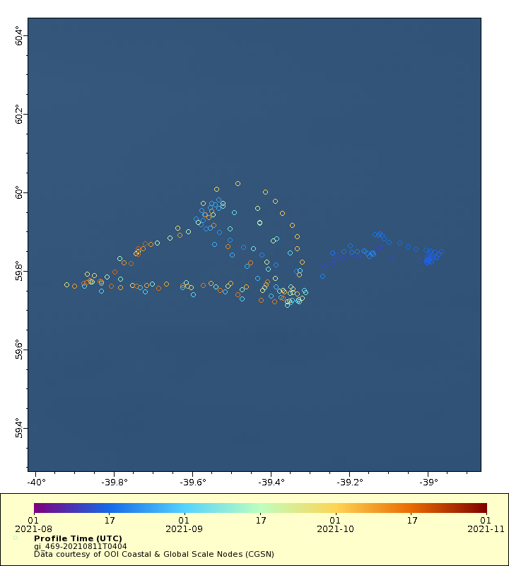
Track
Latest Profiles
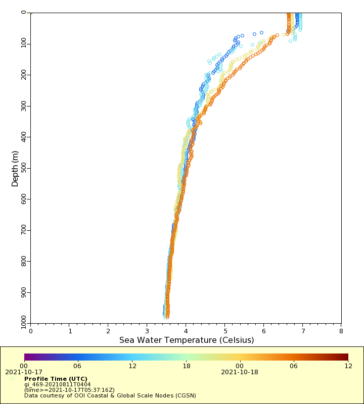
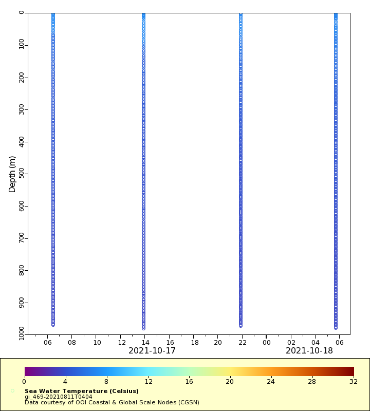
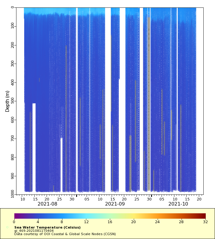
Temperature
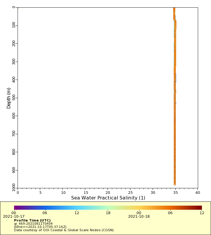
Salinity
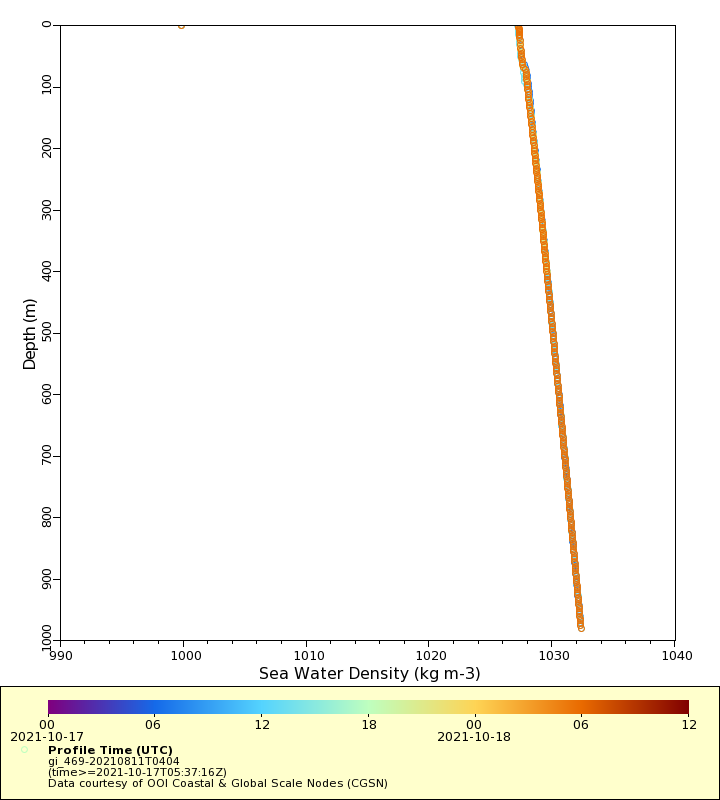
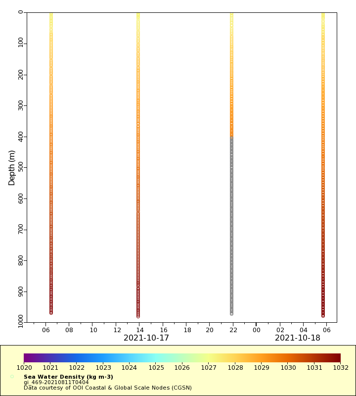
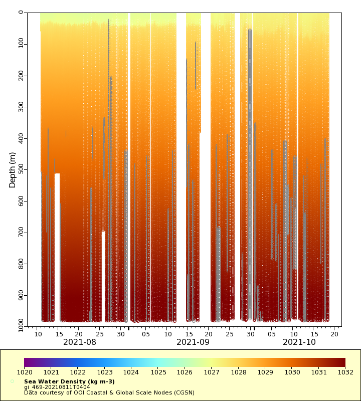
Density
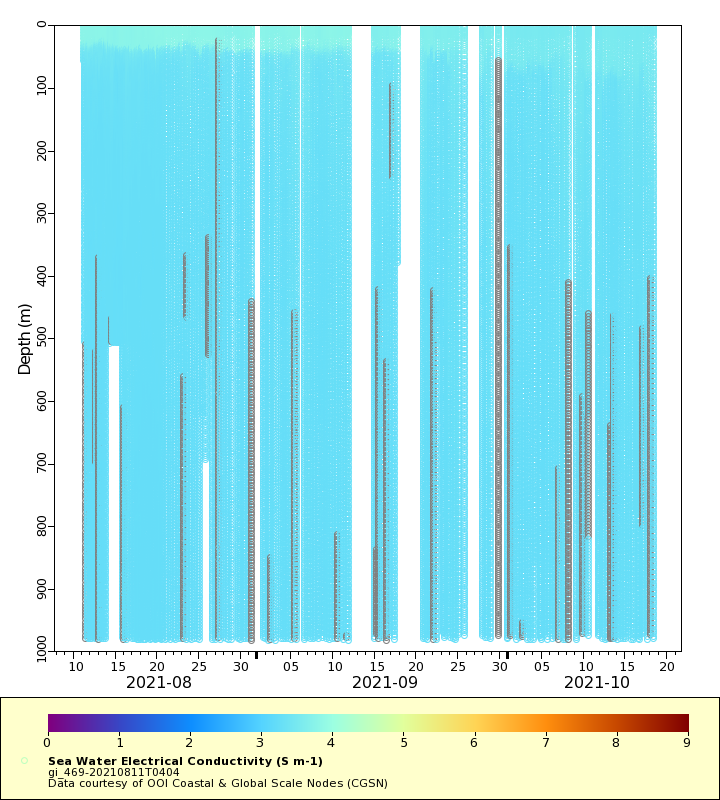
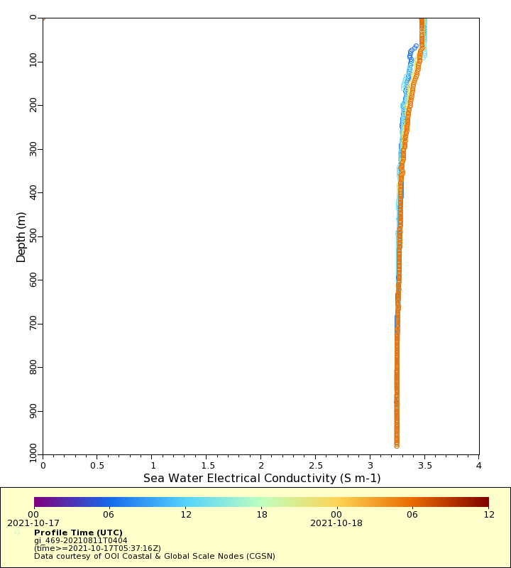
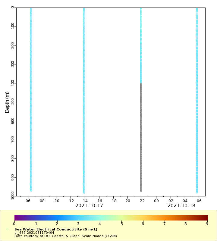
Conductivity
Latest Timeseries
Temperature
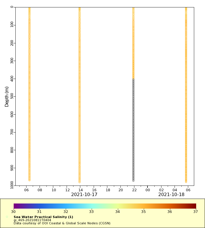
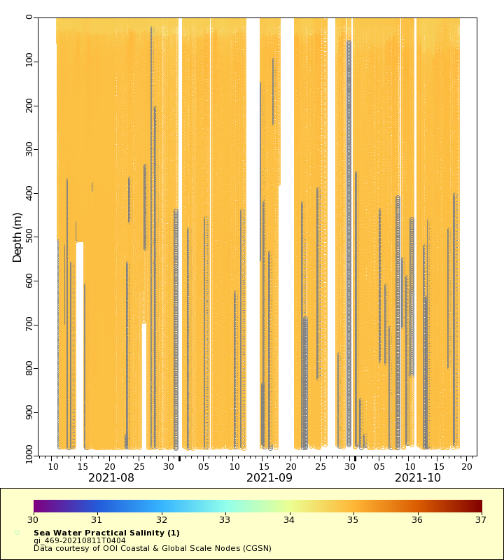
Salinity
Density
Conductivity
Synoptic Timeseries
Temperature
Salinity
Density
Conductivity