The raw surface current is the unprocessed
data measured by CODAR. Therefore these velocity fields are the summation
of all sources of current, including tides and wind.
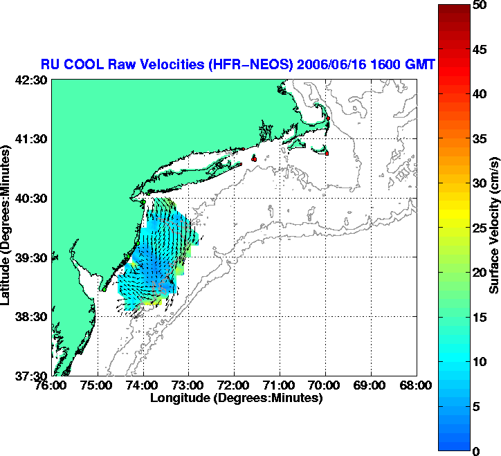
HFR Raw Vector Field (NEOS Region: 6 Long-range and 2 Standard range)
The raw surface current is the unprocessed
data measured by CODAR. Therefore these velocity fields are the summation
of all sources of current, including tides and wind.
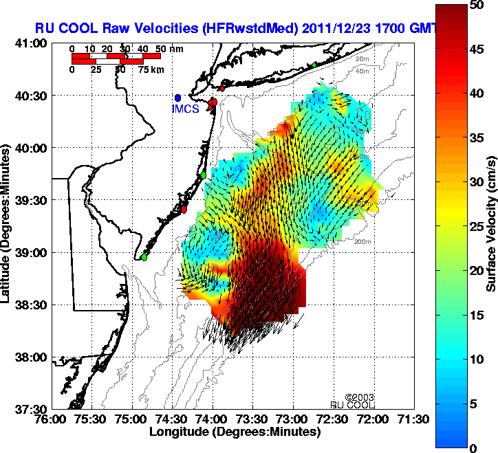
HFR Raw Vector Field (NEOS Region: 6 Long-range and 5 Standard range)
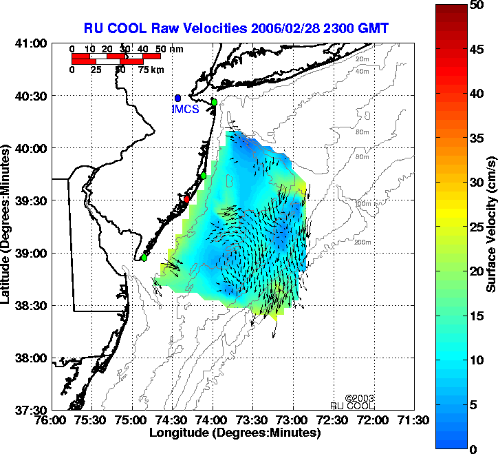
The raw surface current is the unprocessed data measured by CODAR. Therefore these velocity fields are the summation of all sources of current, including tides and wind.