Figure 1.Schemtic diagram the Bermuda Testbed Mooring (BTM) indicating several of the BTM instruments and the data telemetry system (after Dickey et al., 1998).
Figure 2. Illustrations of several bio-optical sampling systems which have been deployed from the BTM.
Figure 3.The Delay-Doppler Altimeter (DDA) is capable of measuring the sea surface elavation to within 1 km of the coast and is proposed for installation on both a constellation of satellites (as shown) and on aircraft platforms (after Raney, 1998).
Figure 4.Normal two-site coverage (blue) for a pair of coastal SeaSonde HF-Radars compared to the additional coverage (orange) avaliable with an offshore pair of bistatic transmitters optimized to resolve the nearshore flows (after Kohut et al., 1999).
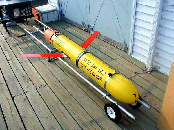
Figure 5. The Coastal Electric Glider (shown on the dock so that its wings are visible) being prepared for its first sea-trials at LEO-15.